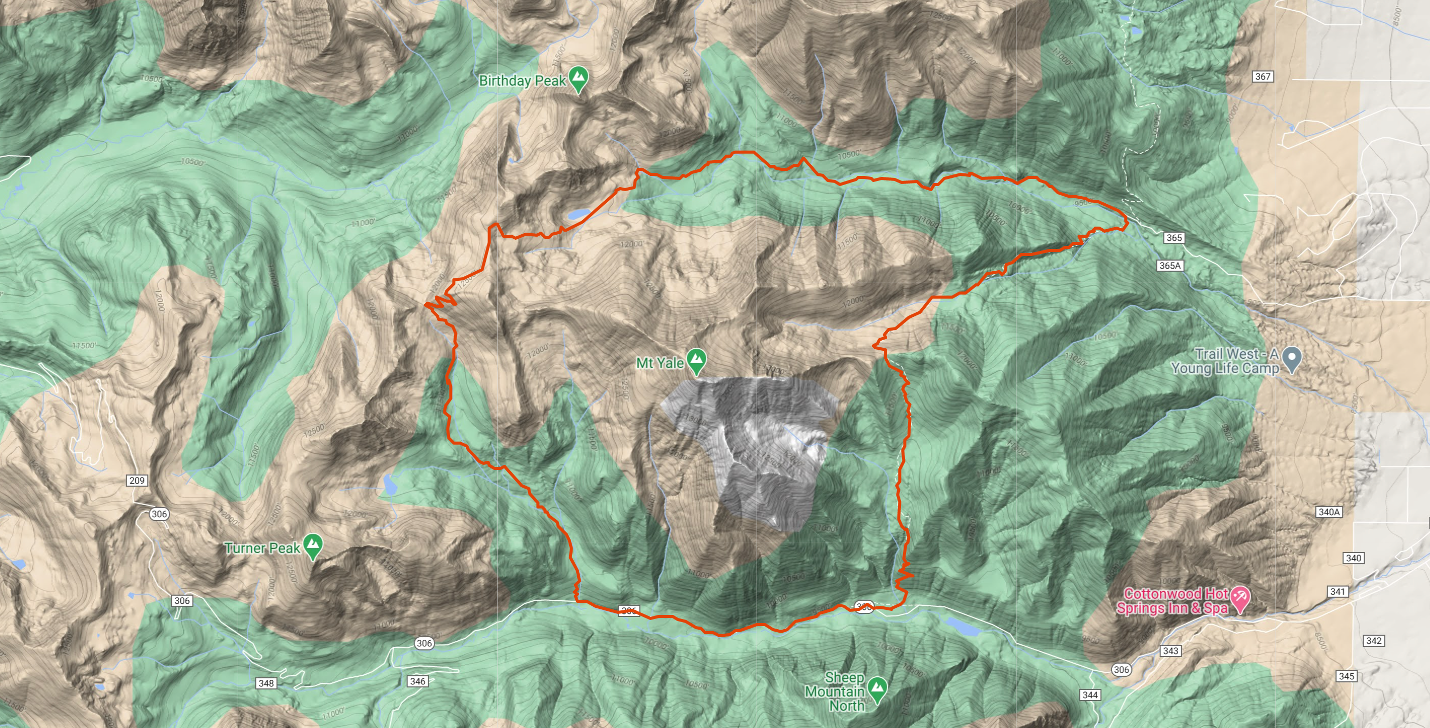
Distance – 21.8 mi
Vertical Gain – 5800 ft
Description:
This route is entirely runnable and combines speedy singletrack with breathtaking views, including an alpine lake, all while circumnavigating Mt. Yale (14,196′).
- Start at Avalanche Trailhead
- Head north on the Colorado Trail
- At saddle, descend north to Silver Creek TH
- Turn left at County Road 365, continuing to N. Cottonwood Creek TH (~1.5 mi 4×4 road)
- At junction, take left onto Kroenke Lake trail toward Brown’s Pass
- At Brown’s Pass, descend all the way down to Denny Creek TH
- Turn left at Highway 306 and punch the gas to speed back to Avalanche TH, closing the loop
© OpenStreetMap contributors
Total distance: 22.43 mi
Max elevation: 12628 ft
Min elevation: 9403 ft
Download file: Yale_360_.gpx
Max elevation: 12628 ft
Min elevation: 9403 ft


